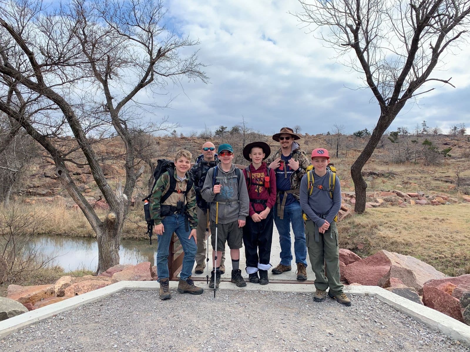
Backpacking crew in the Wichita Mountains
← All trails

Oklahoma · United States

Wichita Mountains Wildlife Refuge

Granite peaks, open prairie, and route-finding in one of Oklahoma’s wildest landscapes.
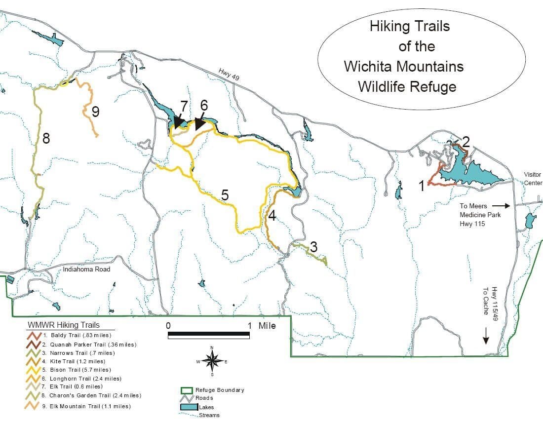
Wichita Mountains hiking trails mapOpen map ↗
Granite, prairie, and exposed terrain in the Wichita Mountains.Last reviewed August 2026

Field orientation

Know the route. Read the terrain.

Charon’s Garden and the surrounding refuge mix granite boulder fields, short steep climbs, prairie, lakes, and lightly marked backcountry routes. Options range from the maintained Charon’s Garden Trail to rugged explorations near Crab Eyes, the Narrows, and Post Oak Falls.

BEFORE YOU GO

Extreme heat can trigger daily hiking closures, and overnight travel in Charon’s Garden requires a permit. Give bison and longhorn abundant space.

Verify current conditions

Closures, permits, weather, water, access, and regulations can change. Use the official land-manager source before every trip.

Lesson from the terrain

Boundaries create better freedom.

Permits, wildlife, heat, and lightly marked routes demand clear operating principles so a crew can explore without becoming careless.

Related field tool · Guiding PrinciplesExplore The Map vs. the Terrain

Prepare beyond the route

Build the rest of the trip

Trip planningTrail skillsTrail mealsLeader toolkit