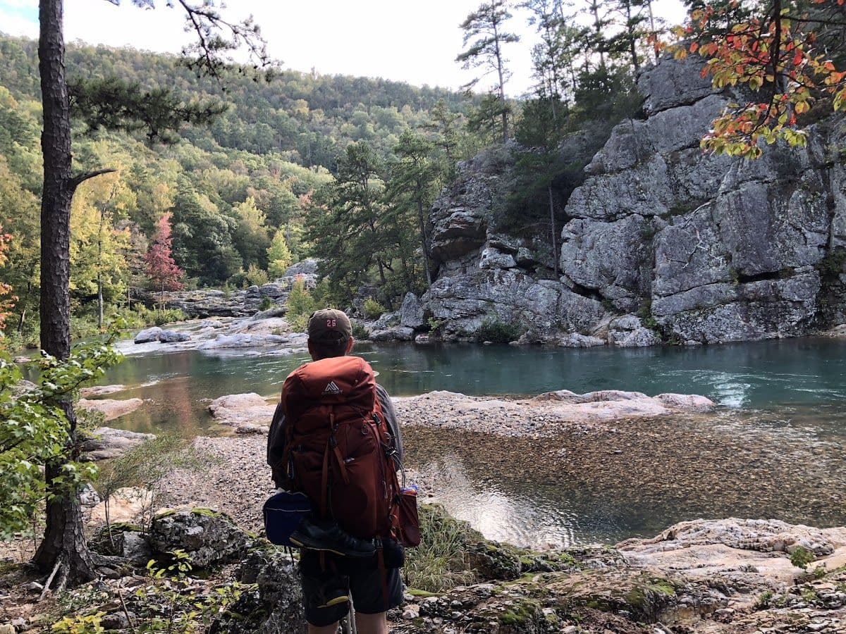
Backpacker overlooking blue-green water beneath Ozark bluffs
← All trails

Arkansas · United States

Hemmed-in-Hollow

A Buffalo River backcountry route where weather can rewrite the plan overnight.
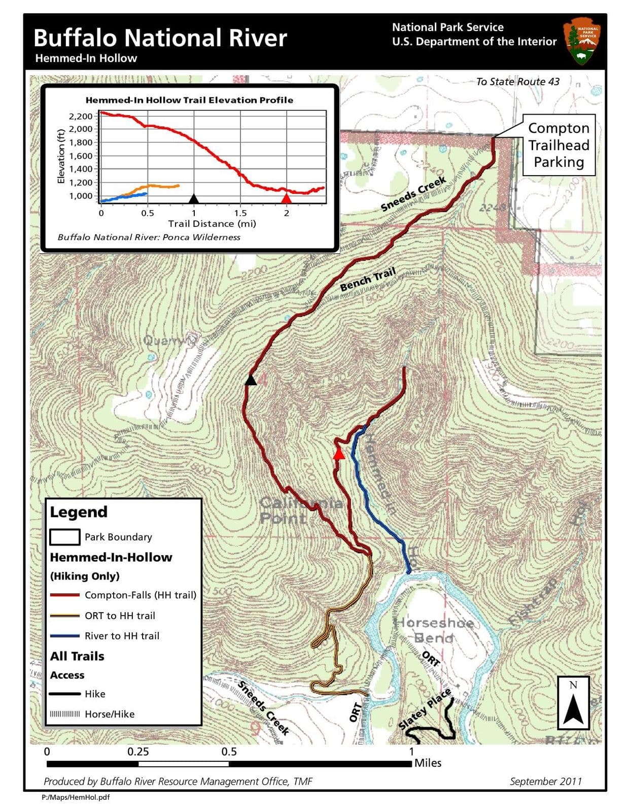
Hemmed-in-Hollow topographic route mapOpen map ↗
Buffalo River backcountry from Bill’s trail archive.Last reviewed August 2026

Field orientation

Know the route. Read the terrain.

From the Compton Trailhead, this steep route drops into the Ponca Wilderness toward a nearly 210-foot waterfall tucked beneath towering bluffs. The return climb gains roughly 1,400 feet in only 2.5 miles. Intersections with the Sneeds Creek, Centerpoint, Bench, and Old River trails make a detailed topographic map essential.

BEFORE YOU GO

The waterfall is rain-dependent, and the National Park Service identifies this as a frequent search-and-rescue location. Carry ample water and allow a full day.

Verify current conditions

Closures, permits, weather, water, access, and regulations can change. Use the official land-manager source before every trip.

Lesson from the terrain

The easy direction can hide the real cost.

A steep descent feels efficient until the return climb arrives. Strong planning accounts for the whole journey, not merely the next visible section.

Related field tool · Terrain ScanExplore The Map vs. the Terrain

Prepare beyond the route

Build the rest of the trip

Trip planningTrail skillsTrail mealsLeader toolkit